
Adopting a strongly professionalizing approach, the programme covers three main topics:
- territorial government and urban/territorial planning
- landscape and environment
- Geographic Information Systems
In Year 1 you will begin to understand that territory, city, landscape and environment are complex phenomena and you will be provided with some basic analysis tools. In addition to the basic knowledge of the evolution and history of urban planning, of planning tools and of the institutional system for the government of the territory, you will acquire knowledge in mathematical and statistical fields, as well as representation and cartography. You will complete your first year with a six-month practical experience named "Atelier to interpret the city and the territory".
During the Year 2, you will gain planning skills at urban level and knowledge in territorial planning and its practices (sociology and economic and urban geography, techniques, and methods of spatial analysis with GIS tools). You will participate in two Ateliers, the first on urban design, with a disciplinary contribution in urban morphology analysis, and the second on spatial planning, landscape design and hydrology. These are complemented by two courses, which provide basic knowledge in the field of energy efficiency of settlements and environmental assessment.
In Year 3 you will understand the complexity of implementation processes by acquiring the required skills in this field. The experience of the Atelier on urban regeneration and local development is complemented by courses aimed at providing evaluation skills in the field of economic feasibility and knowledge, plus skills in mobility and transport planning. Finally, the last semester is useful to systematize and develop the knowledge of planning and urbanism related to the last fifty years of history.
At the end of the programme you will have to take a final exam after passing the English language exam and completing your internship.
The Bachelor's degree programme is Italian-taught, providing several interdisciplinary practical activities.
You will learn to use Geographic Information System (GIS) managing software, acquiring specific skills in the collection and systematization of spatial data for the production of cartographic representations at different scales.
You will develop your planning skills through 4 multidisciplinary Ateliers, face-to-face lessons, classrooms and computer lab exercises. All practical activities will be carried out in small groups that, starting from concrete case studies, will allow you to simulate decision-making processes and to arouse the comparison of design solutions by applying the acquired cognitive, interpretative and technical tools.
In Year 3 you will do a curricular internship in public and private institutions such as Municipalities, Provinces, Regions, public-private bodies, associations, professional firms (chosen personally or from a list provided by the University) that work in the territorial, urban planning and design fields. You will be able to test the knowledge and skills acquired during your lessons and workshops, by collaborating with professionals and technicians who practice planning activity every day.
You will participate in cultural projects and study visits aiming at exploring issues related to the territory and the people who inhabit it, but also in scientific and professional updating events, meetings and seminars with external experts (reported in the classroom and often in the "News" page of the programme website).
In October 2016, the new United Nations Habitat III Urban Agenda was approved in Quito (Ecuador). Among the actions identified in the "Quito Declaration on Sustainable Cities and Human Settlements for All," it is important to note Article 102, which emphasizes the importance of training in urban, land use, landscape and environmental planning:
"We will strive to improve the capacity to affect urban planning and design and to ensure training for planners at the national, infra-national and local levels."


- Remote video URL
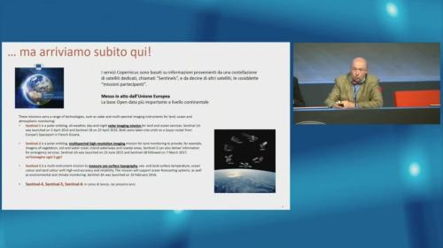
- Remote video URL


