Second Edition of the SUNRISE Summer School Concluded
The SUNRISE Summer School (Seashore and UNderwater documentation of aRchaeological herItage palimpSests and Environment) was organized by the Politecnico di Torino in collaboration with the Italian Society of Photogrammetry and Topography (SIFET) and supported by the International Society of Photogrammetry and Remote Sensing (ISPRS) and CIPA Heritage Documentation.
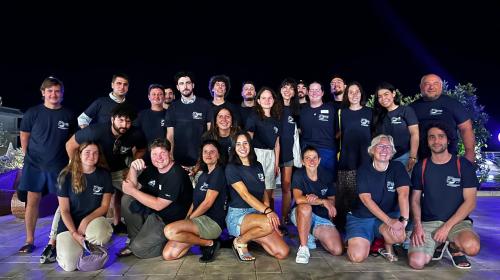
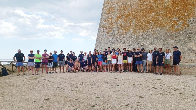
The summer school took place in the municipality of Porto Cesareo (LE) from September 8 to 14, 2024, and involved 24 students – architects, engineers, archaeologists, and marine ecologists from Europe, the United States, Latin America, and Asia. Throughout the entire duration of the school, the students were guided by 23 tutors, ensuring an almost one-to-one student-tutor ratio.
The school offered theoretical activities with lectures and fieldwork, applying a learning-by-doing teaching approach. Two sites were the focus of the fieldwork: Torre Chianca – a 16th-century defensive building – and the Roman marble cipollino columns – a submerged archaeological site. Both sites are part of the protected marine area of Porto Cesareo.
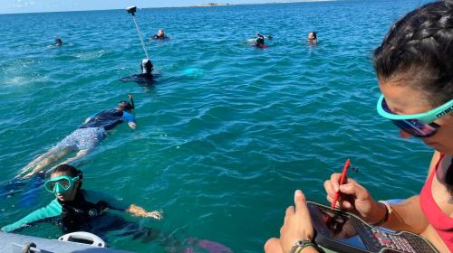
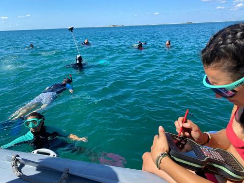
Field data collection was supported by representatives from various companies: Images, Microgeo, Stonex, Pix4D, Geomax, Leica, Dynatech, and 3DTarget – sponsors of the initiative – who demonstrated the latest technologies for integrated multi-sensor surveying of cultural heritage, such as drones, terrestrial and aerial laser scanners, and mobile mapping systems. At the same time, underwater activities took place, where snorkelers and divers collected photogrammetric images of the columns and control points using GNSS positioning systems – Global Navigation Satellite System.
Following the data collection, participants worked in groups with the support of tutors to process the data, creating 3D models in the form of point clouds and meshes, digital terrain models, surface models, and, finally, traditional 2D sections and plans. The school concluded with the presentation of each group's results.
The educational and research activities were coordinated by Filiberto Chiabrando and Lorenzo Teppati Losè, professor and researcher from Department of Architecture and Design-DAD, with support from Andrea Lingua, professor from Department of Environment, Land and Infrastructure Engineering-DIATI, Elisabetta Colucci, researcher from DAD and Francesca Matrone, researcher from DIATI.
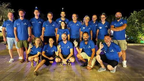
The initiative was realised in cooperation with tutors Paolo Maschio, Beatrice Tanduo, and Alessandra Spadaro from the Geomatics for Cultural Heritage Laboratory of DAD and the Geomatics Lab of DIATI; Caterina Balletti, Francesco Guerra, Paolo Venier; Andrea Martino and Enrico Breggion from IUAV of Venice; Giuseppe Furfaro from SIFET; Erica Nocerino, Fabio Menna, and Alessio Calantropio from the University of Sassari; Domenico Visintini from the University of Udine; Alessandro Capra from the University of Modena/Reggio Emilia; Rita Auriemma, Luigi Culuccia, Cristiano Alfonso from the University of Salento; and Dominique Rissolo from the University of California, San Diego.
