Geomatics for heritage preservation: Team DIRECT at the Etruscan Necropolis of Cerveteri
In the heart of the ancient Etruscan necropolis of Cerveteri, just outside Rome, the past met innovation: the student team DIRECT from Politecnico di Torino began transforming part of this millennia-old site into a detailed three-dimensional digital model, combining history, advanced technology, and hands-on education.
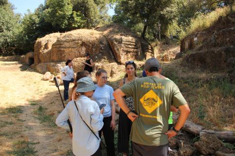
From June 25 to 28, 2025, the Team DIRECT (DIsaster RECovery Team), the only student team in Italy dedicated to geomatics for disaster management and heritage documentation, carried out a fieldwork campaign at the UNESCO World Heritage site of the Necropoli della Banditaccia in Cerveteri. The initiative was conducted under the academic supervision of Professors Filiberto Chiabrando, Emanuele Morezzi, Lorenzo Teppati Losè, and Tommaso Vagnarelli of the Department of Architecture and Design-DAD, as part of an advanced interdisciplinary educational project.
The goal of the mission was to digitally document and analyze the architectural, spatial, and environmental features of one of the world’s oldest necropolises using cutting-edge geomatics technologies.
This fieldwork is part of a broader collaboration between the Department of Architecture and Design-DAD and the Archaeological Park of Cerveteri and Tarquinia, launched in 2022. The project promotes the preservation of archaeological structures and landscapes, the monitoring of monuments, historical and archaeological analysis based on geospatial data, and the virtual accessibility of one of the most significant archaeological sites of pre-Roman Italy.
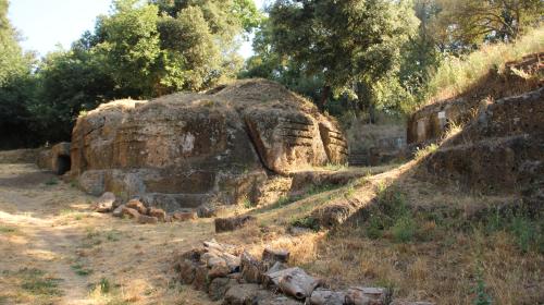
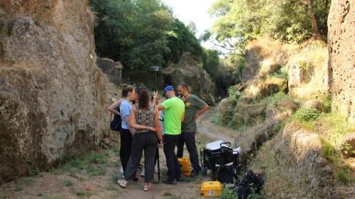
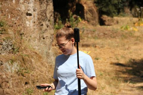
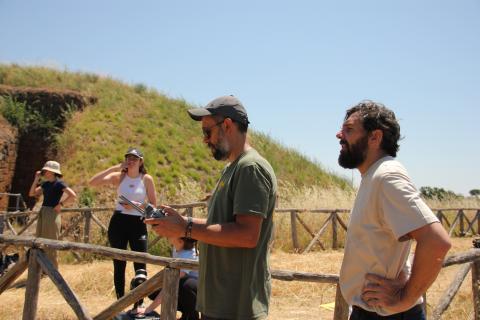
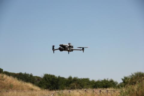
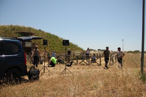
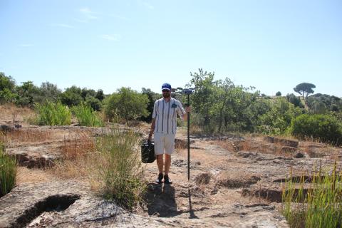
During the four-day campaign, the students adopted a multi-sensor approach, meaning they used a variety of complementary survey and data acquisition technologies, each with specific characteristics and purposes, to achieve a comprehensive and accurate digital record of the site. UAV-based photogrammetry was employed to produce orthophotos - geometrically corrected aerial images that are metrically measurable - as well as textured 3D models. To ensure accurate spatial referencing, GNSS receivers were used for precise georeferencing and data control. A mobile mapping system, a surveying technology based on real-time acquisition while in motion, enabled the rapid 3D scanning of the Via degli Inferi sector and other areas of the archaeological park. In parallel, terrestrial laser scanning was carried out both for the interiors and exteriors of the Etruscan tombs, including the Tumulus of the Shields and Chairs, one of the site’s most iconic and evocative structures. Finally, multispectral drone flights were conducted over areas at potential conservation risk. These flights collected data in various wavelengths of the electromagnetic spectrum, including those invisible to the naked eye, to support monitoring and preventive conservation strategies.
The mission also included 360-degree video recording, using devices capable of capturing spherical imagery in all directions, enabling immersive visualizations of both indoor and outdoor spaces. These outputs will support future educational activities and outreach efforts, making the site more accessible even remotely.
Beyond the technical aspects, the campaign highlighted the value of experiential learning, giving architecture and engineering students the opportunity to collaborate on a real-world project, contributing actively to the documentation and protection of a fragile cultural heritage.

- Immagine
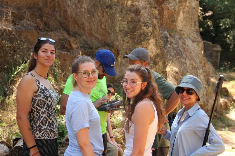
 NomeThe team at the Necropolis
 - Immagine
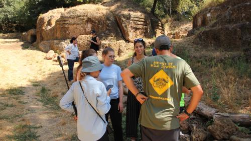
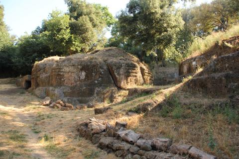 NomeUNESCO archaeological site
 - Immagine
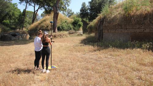
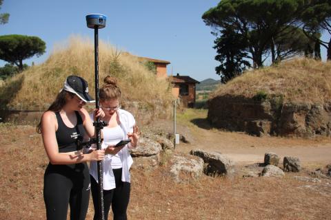
 NomeStudents conducting field surveys
 - Immagine
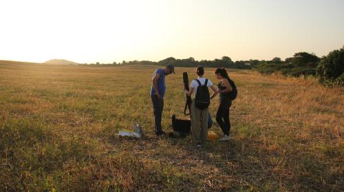
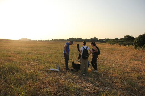
 NomeEngaged in fieldwork
 - Immagine
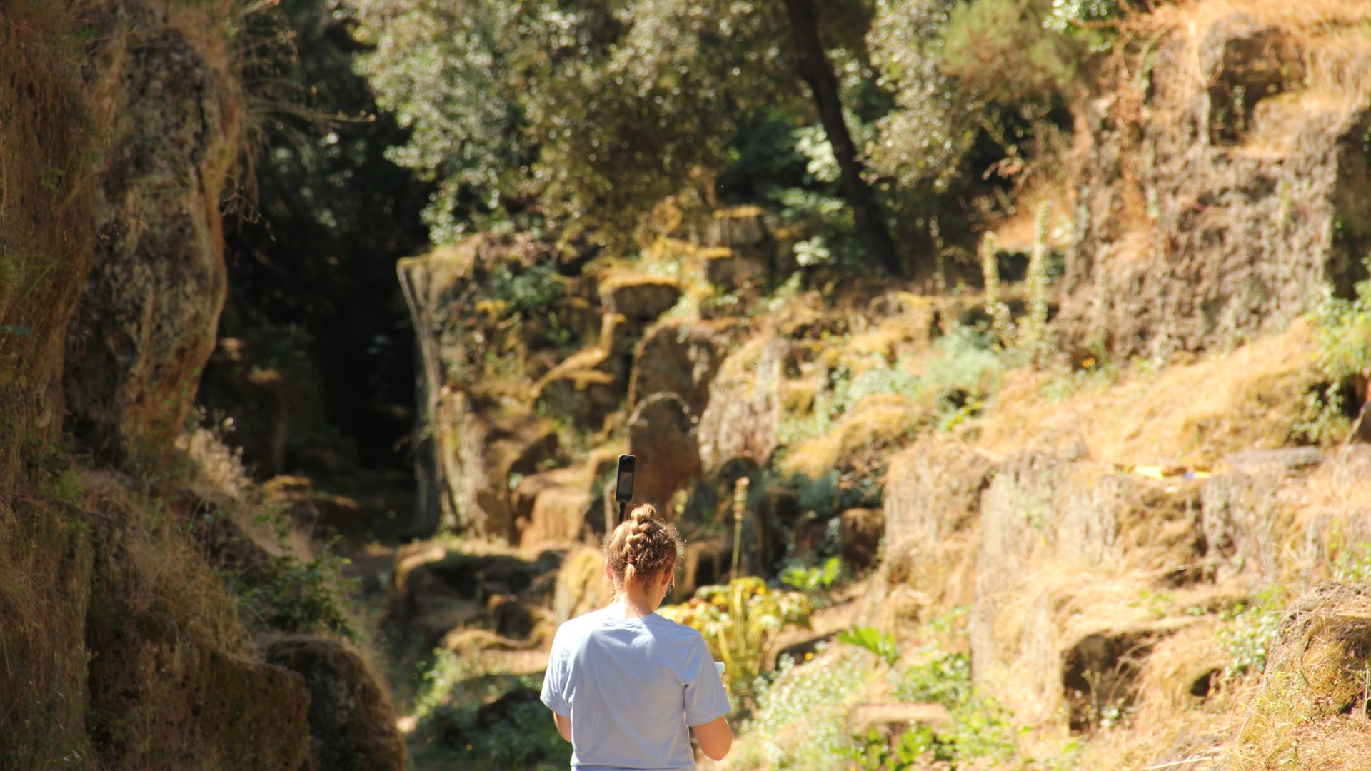
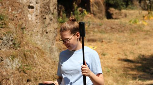
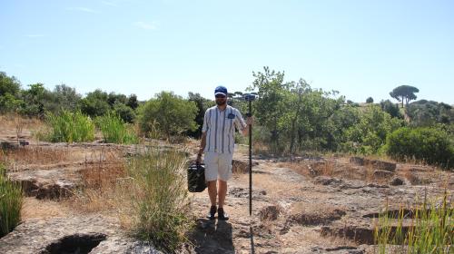
 NomeDIRECT Team student
 - Immagine
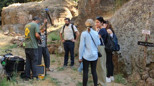
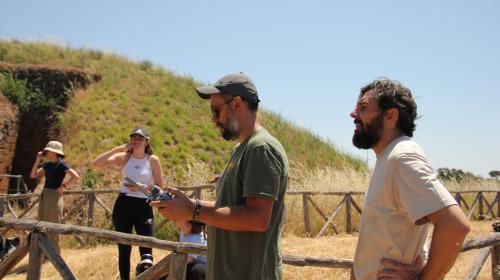
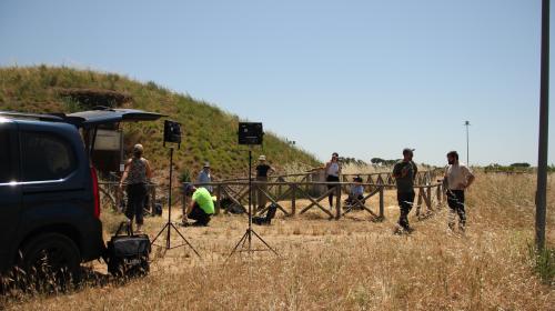
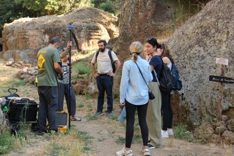
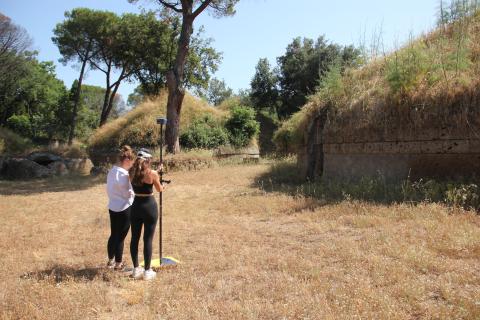
 NomeSurvey activities in progress
 - Immagine
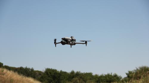
 NomeUAV (Unmanned Aerial Vehicle)
 - Immagine
 NomeDuring the 3D scanning of the site
 - Immagine
 NomeImmersed in the Banditaccia Necropolis
 - Immagine
 NomeField data acquisition in progress at the Etruscan necropolis
 - Immagine
 NomeTeam members during fieldwork
 - Immagine
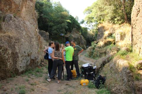
 NomeGeospatial data acquisition in progress


