Accessing Territorial Data in a Click
Civil society and businesses are dealing with an ever-growing volume of data, so vast that it is often difficult to access and analyze.
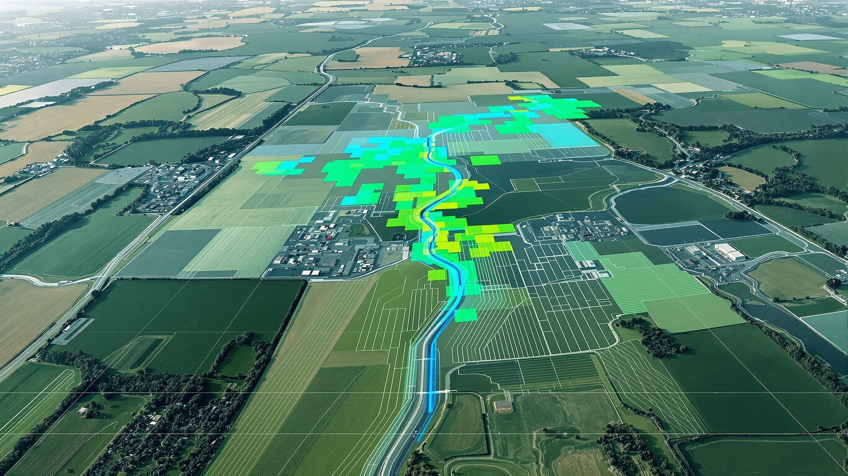
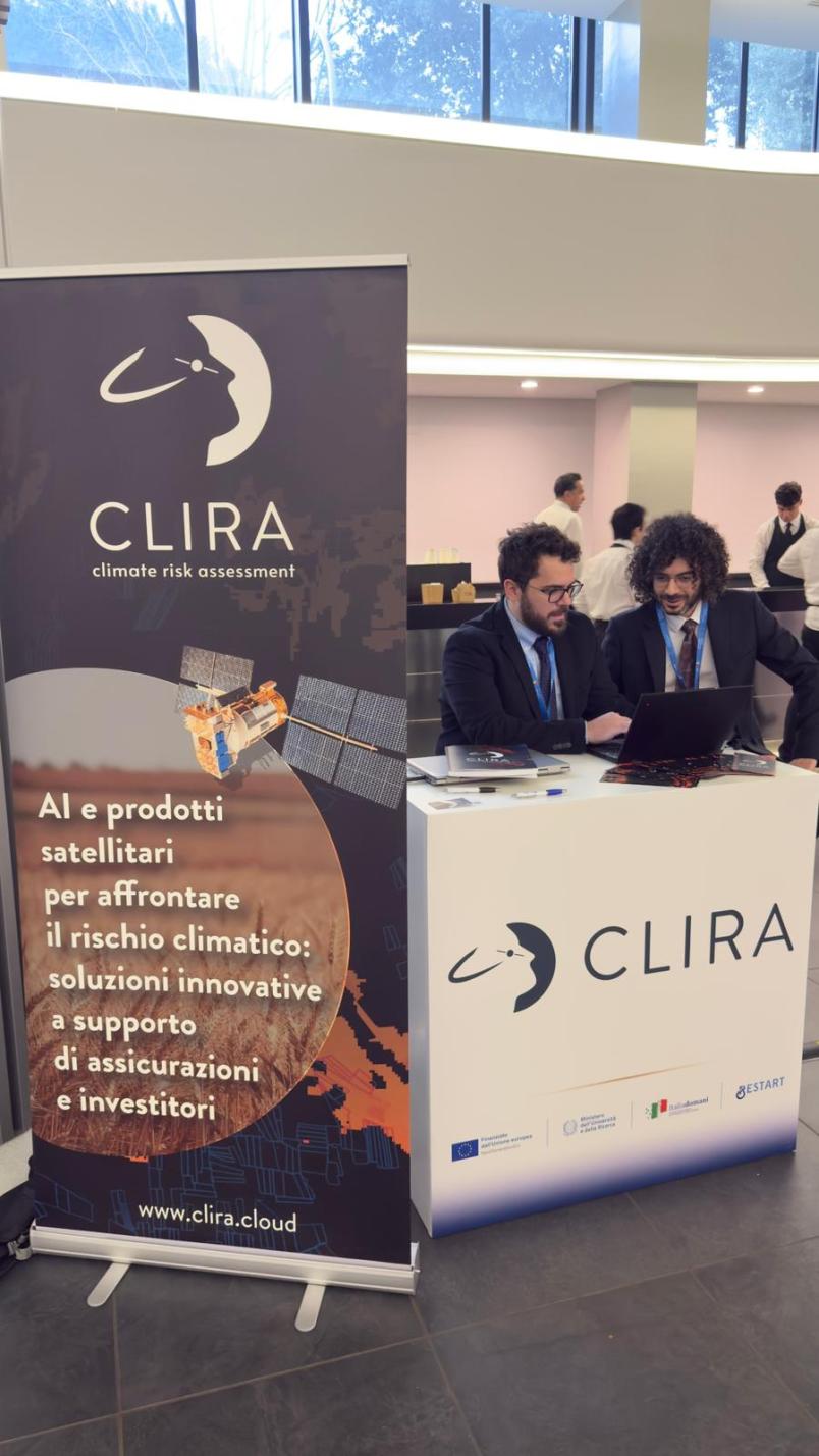
It is from this observation that CLIRA was founded in October 2025. The company is now preparing to launch a platform that transforms the large and growing volume of satellite data into accessible, ready-to-use information, without requiring IT or data analysis skills. Data and information with strong potential for a wide range of territorial applications, as well as for monitoring the environmental impact of business activities. The system, called IULIAN, is still in the testing phase but can already support companies.
Built on years of research at Politecnico di Torino, CLIRA offers a service that allows professionals, companies and institutions to access and interpret geospatial information without specialised expertise. Thanks to artificial intelligence and automation, the platform retrieves and organizes complex data into clear analyses that can be used immediately to support decisions on infrastructure and land-based projects, environmental monitoring, sustainable planning and any other activity requiring satellite data.
“We realized that outside the research environment there is a whole world of companies that often struggle to fully exploit the potential of the vast amount of information coming from space,” explains Matteo Rolle, CEO of CLIRA. “Accessing databases is often difficult, even more so assessing how much usable information is available. At the same time, however, the need for access to this data has increased and continues to grow”.
In other words, CLIRA aims to make satellite data usable for its natural end users, without technological barriers. Rolle summarizes: “Through us, users can download exactly what they need to meet their requirements and specific purposes. We distribute the information derived from the data, not just the data itself”.
CLIRA’s technology makes it possible to significantly reduce costs. Its development has been made possible not only by extensive research, but also by programs such as the Proof of Concept funding of Fondazione Compagnia di San Paolo, as well as resources from the Return and Restart projects funded by the PNRR.
The start-up also has important development prospects. Luca Salerno, CSO of CLIRA, explains: “At the moment we are working with satellite data, but the goal is to be able to process any source of environmental data, considering that one of the main challenge for businesses and users is the complexity of accessing this type of data”. The aim is to reach the final configuration for the market launch of IULIAN by the end of 2026. In addition to the processing software, work is also underway on the user interface. “We would like to identify from the outset some companies willing to collaborate on defining the pilot product, so that it can be tested immediately on end-user needs”, Salerno adds.
The competitive advantage is clear: CLIRA estimates a 90% reduction in the working hours required to analyze satellite data, while also eliminating the need for continuous updates on new data, systems and technologies.