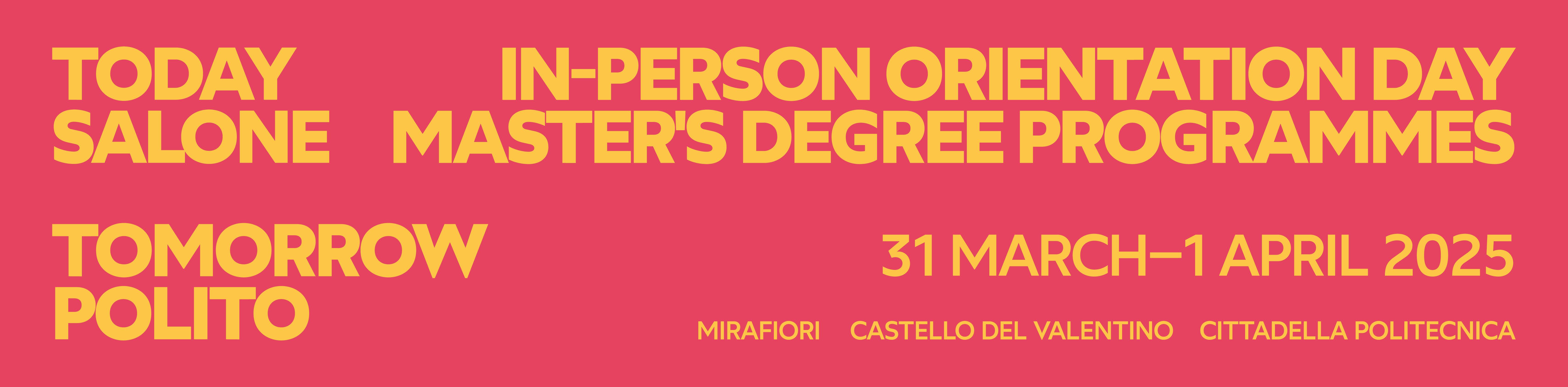
On March 31st and April 1st 2025 the Open Days for Master's Degree programmes is going to be held at Politecnico di Torino.
Discover the activities dedicated to the MSc programmes in Environmental and Land Engineering, Georesources and Geoenergy Engineering and in Agritech Engineering!
1) Stand dedicated to Master's Degree programmes
- Monday, March 31st, 9:00 am - 6:00 pm
- Tuesday April 1st, 9:00 am - 6:00 pm
You will meet professors and students of the course who will answer all your questions.
2) Thematic lessons
- Georesources and geoenergy engineering: Challenges in Geoenergy and Mining of Primary Raw Materials
- Monday, March 31st, 12:15 - 1:15 pm, classroom R4B, with professors Chiara Deangeli, Francesca Verga, Marilena Cardu (presentation in English)
- Ingegneria per l'ambiente e il territorio / Environmental and Land Engineering: Environmental and Land Engineering: a conversation on the challenges for the 21st Century
- Monday, March 31st, 1.30 - 2:30 pm, classroom R1B, with professors Fulvio Boano, Pierluigi Claps, Daniele Peila, Stefania Tamea, Mariachiara Zanetti (presentation in English)
- Agritech Engineering: le nuove tecnologie per un'agricoltura circolare e sostenibile
- Monday, March 31st, 4.00 - 5.00 pm, classroom R1B, with professors Tosco and Demarchi, students Matteo Vinci and Homa Ebrahimian, Magnano, CNH, Aurora Audino, Jordan Dinglasan (ViveCrop) (Presentation partly in English)
3) STUDENT TEAMS
- Monday, March 31st, classrooms R pavilion
Mi Lego al Territorio is a student team that has been working since 2015 to raise awareness among children and adults on environmental issues such as hydrological disruptions, floods and landslides, and earthquakes. To do this, the team has designed scale models that reproduce these phenomena, and their consequences, on the territory and the surrounding environment, entirely built in LEGO! - Tuesday, April 1st, classrooms R pavilion
Team DIRECT aims to set up an active continuing student education necessary to prepare "crisis mappers", i.e. experts with high specific skills for the application of the most modern geomatics techniques (3D metric survey, drones, photogrammetry, remote sensing, GIS/webGIS) in the various phases of "disaster management" in order to acquire and process information for "rapid mapping".
To access the event, visit the stands and join the thematic lessons it is necessary to register to the event.
The registration form will be available until March 30th.